Second prize winner of the Galileo Masters’ Hesse Challenge 2019 is RoadEO from the ESA BIC Noordwijk. RoadEO is building a global road quality monitoring and prediction platform with the goal of reducing maintenance efforts and decreasing CO2 emissions while improving road comfort and safety. Galileo provides them improved accuracy and reliability.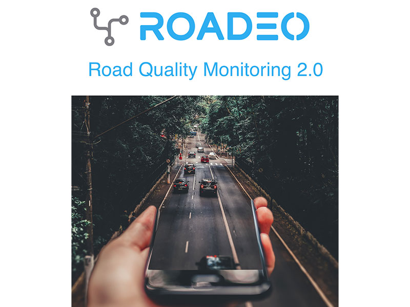
Roads are the most important public asset of every country and cost us billions of euros for maintenance every year. Heavier traffic loads and climate change will dramatically increase these expenses. This is why public and private road authorities want to move away from scheduled towards predictive maintenance which can save them up to 50% in time and money. Unfortunately, they lack knowledge, tools and most importantly the big data to do so and that’s where RoadEO comes into play!
Satellite Navigation, Earth observation and crowdsourced smartphones
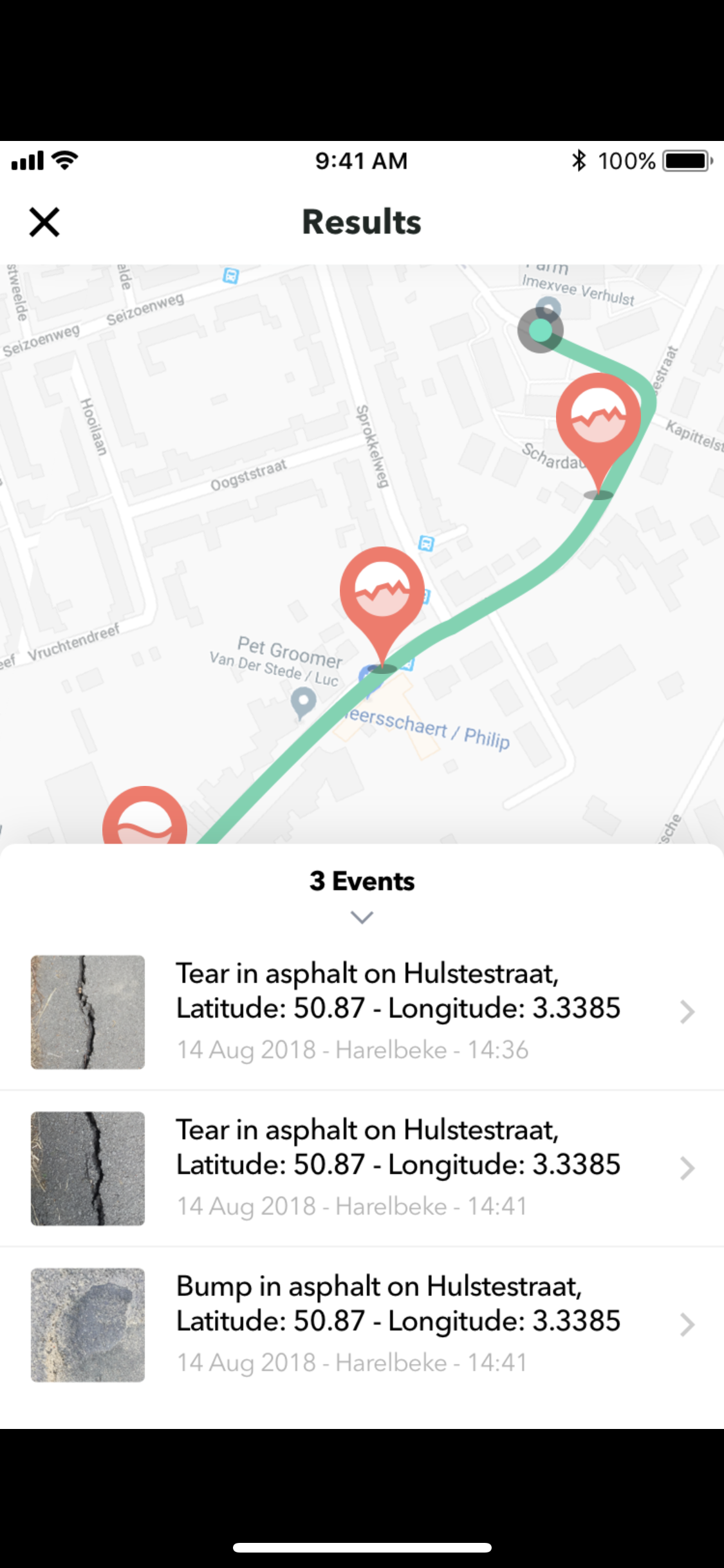
RoadEO is developing a global road quality monitoring and prediction platform. It tells their clients when and where the next road segment needs to be maintained with the goal of saving time and costs while improving road safety and comfort. They are doing this by combining satellite earth observation with crowdsourced smartphones. Satellites to detect the wear of the roads and smartphones to record structural damages such as potholes, cracks and surface roughness. They then combine the measurements to create new insights about the current state of the road segments as well as leverage this new big data source for predictive analytics. This way, they can advise their clients whether maintenance work should occur earlier or later than initially planned. Galileo is essential in RoadEO’s proposition since it allows for accurate recordings of the structural damages via the smartphones and allows its later georeferenced fusion with the observations from space adding significant benefits and improvements to its customer group.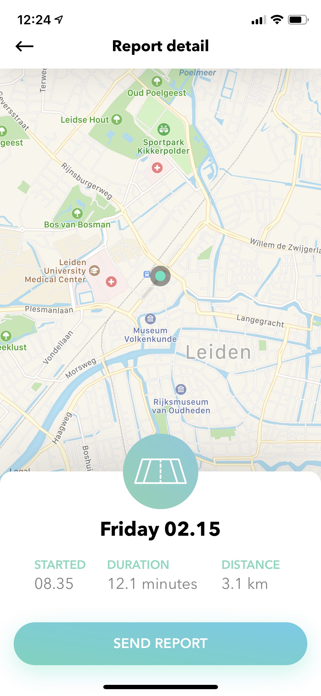
With passion and business boost to paid pilots
The team around Alexander Gunkel is a group of remote sensing, GIS and business development professionals. The dynamic journey of the four passionate founders began in 2017 after having won the regional Galileo Masters in the Netherlands. Soon they had to realize that their initial application area and technology proposition was unfeasible. So, they changed direction. With the help of the ESA BIC Noordwijk in 2018, the Copernicus Accelerator and a mentor they were able to extract the “gold nuggets” from their previous work and ambition. This meant to identify the infrastructure asset monitoring application as both lucrative and impactful. Leveraging existing sensor infrastructure from space and from the ground to bring big data into this rather traditional industry segment has great disruptive potential and allows for global scalability. That aligned with RoadEO’s vision of improving road comport and safety world-wide. A customer for a first paid pilot was not far and things speeded up. RoadEO won several prizes in 2019 – among them the second place of the reknown Galileo Masters’ Hesse challenge – as well as customers for further pilots. 
What’s next?
RoadEO is now running three pilots on highways, municipal and provincial roads together with partners like Verhaert, TU Delft, BAM as well as Dutch municipalities and provinces. Their next step will be automating the processes and testing them in further pilots in the Netherlands and Germany before scaling to new territories. Besides, a bigger seed round is planned in 2020 under the new commercial director Joris Jeelof.
Do you have a great idea which uses Galileo technologies as well? Apply now for the Galileo Masters Prize Hesse!